
South America's largest lake and the world's highest navigable body of water, Lake Titicaca has long been considered a sacred place among indigenous Andean peoples. The people who live on and around the lake consider themselves descendants of Mama Qota, or Sacred Mother, and they believe that powerful spirits live in the lake's depths. According to Andean legend, Lake Titicaca -- which straddles the modern border between Peru and Bolivia -- was the birthplace of civilization. Here the children of the Sun stepped forth from the sacred rock on the northwest tip of the Sun Island, and the Inca culture began.
Lake Titicaca is a dazzling sight. Its deep azure waters seemingly extend forever across the altiplano, under the incredibly wide sky at an elevation of more than 12,460 feet. The lake covers more than 3,282 sq. miles; it is 109 miles long and 31 miles wide. The sun is extraordinarily intense at this altitude – even though the temperature was pleasant, we fair-skinned folks could feel sunburn happening.
Lake Titicaca has been inhabited for thousands of years. Totora-reed boats roamed the lake as early as 2500 B.C. Titicaca's islands -- both man-made and natural -- are home to several communities of Quechua and Aymara Indians, groups with very different traditions and ways of life.
This map shows the relative location of the places we visited in and around Lake Titicaca. Our lodge was on the outskirts of Chucuito, right on the lake.


As improbable as it sounds, the Uros Indians of Lake Titicaca live on "floating "islands" made by hand from totora reeds that grow in abundance in the shallow waters of the lake. The Uros fled to the middle of the lake to escape conflict with the Incas. Their original purpose of the floating islands was defensive, and they could be moved if a threat arose. This unique practice has endured, and today there are some 65 floating islands in the Bay of Puno.


Several hundred Uros natives live year-round on the islands, even if they venture to shore for commercial transactions. The largest island has not only homes, but also a floating church. Others have schools, a post office, public telephone, a small hotel, and souvenir shops.

We were provided a very nice demonstration about the totora reeds and how they are used - for food, for building islands, for shelter and for transportation. Some of the men constructed a miniature island to show us how their world is put together - it's a lot of work.


Fishers and birders, the Uros live grouped by family sectors, with entire families living in one-room thatched huts built on the reed islands. They build modest houses and splendid gondolas out of the reeds. They must continually replenish the fast-rotting mats that form their fragile islands.


We were surprised, to say the least, to find some huts outfitted with televisions powered by solar panels (which were donated by the Fujimori administration after a presidential visit to the islands). Yet another sign that it's impossible to escape the 'modern' world - you have to wonder how long this seemingly isolated culture can endure.
As noted previously, there are no idle hands, especially among the women. All around us they were busy - preparing food, knitting or sewing.


 We had a chance to purchase some of their handiwork. We made one young woman (Jessica) very happy as we bought this colorful blanket for our friend Cindy Steele.
To wrap up our visit, we took a ride in one of the reed boats - with two of the men providing the paddle-power to move us around. It's pretty peaceful out there - and a nice opportunity to admire the islands and the boats.


*************************************************************

Our first stop was a family home that was a LONG walk from the boat dock - here we were shared a home-cooked meal, met some of the local artisans, and learned a little about the island culture.


Taquile has been inhabited for 10,000 years, and life remains starkly traditional. Once part of the Inca Empire, this island was one of the last locations to fall to the Spanish during their conquest of Peru. There is no electricity, there are no vehicles, and the 3,000 or so islanders quietly go about their business – mostly oblivious to our curious stares and clicking cameras.

Men (and boys) wear embroidered, woven red waistbands and embroidered wool stocking caps -- so tightly knitted that they can hold water -- that indicate marital status: red for married men, red and white for bachelors. Women wear layered skirts and black shawls over their heads. Taquile textiles are much sought after for their hand-woven quality - their caps are so tightly knit that they will hold water.


After lunch, we walked through the plaza on our way along an amazing 533-step stone staircase that climbs to the top of the island, passing through two stone arches with beautiful views of the lake.


In spite of the altitude, it was a lovely walk past quaint houses, small farms and incredible views of the lake beyond.

*****************************************************


From Acora, to the lake, we passed lots of small farms - subsistence farming or survival farming. Families living in adobe houses and plowing their fields with oxen. A lucky few might be able to rent a tractor for a few hours; the unlucky ones were pushing a foot plow . Any way you approach it, it's a lot of hard work.


From Acora, we stopped at Charcas Beach on the shore of Lake Titicaca. This little beach was as appalling as the lake is beautiful - lots of trash, bottles and beer cans did nothing to enhance the neighborhood. We climbed up on some rocks and looked the other way .... though it seemed like we should be helping clean up the litter.


****************************************

Iscapataza is a traditional rural village where we were invited to learn about local weaving and to stay for a pot-luck lunch. In this community, all the women knit and weave.
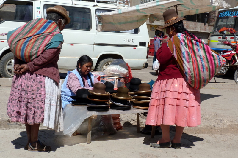
Children and young girls wear knitted caps; once they are married, they become eligible to wear bowler hats. Single women wear their hair in two long braids down their back; married women connect the braids at the ends to indicate their attachment.


While the potatoes were cooking in the coals, our guide moderated an interesting question and answer session between the local women and the members of our travel group. They had a hard time understanding why some of our group were single and made some interesting offers about helping to find an appropriate spouse.


Even while asking and answering questions, they never stopped working - spinning yarn or knitting hats or weaving colorful belts or waistbands.


Once again, we were pleased to entertain the local folks - some of our answers brought looks of disbelief and/or outright laughter.

At last it was time for lunch. The women brought bundles of food to dump into the middle of a blanket; there were five to ten people in each group. Each of the women brought mostly the same thing - potatoes, fava beans and a little meat. We added the stuff we bought earlier in the market at Acora - breads, fruits and sweets.

Our food was cooked separately and served on plates, but we were invited to join one of the circles spread out on the ground. We did just that - and stumbled through some more questions about marriage, fair skin and sunburn.
What a day - from market to mealtime, we didn't see any other gringoes. We do appreciate our travel company's commitment to taking us out of our comfort zone and into the lives of the local communities.
***********************************************************

Sillustani is a pre-Incan burial ground near Puno. The tombs, which are built above ground in tower-like structures called chullpas, are the vestiges of the Colla people, who were conquered by the Inca in the 15th century. Our first thought was that it sure was a daunting hill that we were expected to climb for a closer look at these things.
These giant cylindrical tombs, some as tall as 40 feet, housed the remains of complete family groups. Ancestor worship and kinship were integral parts of this ancient culture, and the chullpas at Sillustani were built to house the elite class of the immediate pre-Inca and Inca period.


Corpses were not intentionally mummified, but in the dry environment created by the closed tomb, they survived for centuries. Most mummy bundles indicate burial in a fetal position. Some of the tombs also have various animal shapes carved into the stone. The only openings to the buildings face east, where it was believed the Sun was reborn by Mother Earth each day.


The Colla architecture at the site is more complex than typical Incan stonework. The chullpas are made of enormous stones—bigger at the top than at the bottom. The rocks were brought to this site from great distances; in some areas, we could see smaller stones that had been used to roll large boulders to the building site.


The structures form quite a lasting impression in this harsh, windswept landscape, particularly against the backdrop of Lake Umayo.

Given the altitude (13,000 feet) we felt pretty good about making the long trek to the top. The view was beautiful and it was a real bonus to find a herd of alpacas grazing along the summit.


*****************************************************
On the southern shore of Lake Titicaca, Chucuito, a small Aymara town, is one of the oldest in the altiplano region. The town, capital of the province during colonial times, has a lovely main square and a colonial church, Nuestra Señora de La Asunción (built in 1601).


Another colonial church, Santo Domingo sits beside a most curious, perhaps dubious, construction, and the town's main attraction. Said to date to pre-Columbian times, the Fertility Temple Inca Uyo is composed of dozens of large, mushroom-shaped phallic stones, most a few feet high, which locals claim were erected as part of fertility rituals.

The anatomically correct stones leave little doubt as to what their creators had in mind. Some point up at the sun god, Inti, while others are inserted into the ground, directed at Pachamama, or Mother Earth.

The stones might predate the Incas, but some contend that they, or at least the manner in which they are displayed, are fake, a hoax perpetrated by locals to rustle up tourist business. Since Spanish missionaries did everything in their power to destroy all symbols and structures they considered pagan, it seems highly unlikely that they would have constructed two churches nearby but left this temple intact.
*****************************************************

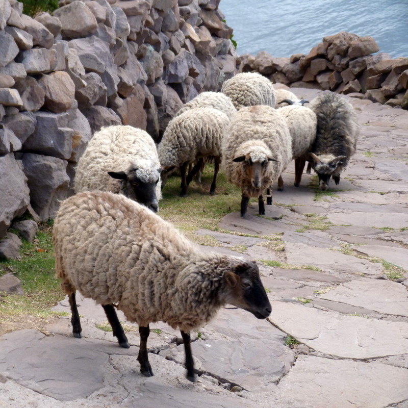
The city of Puno, founded in the late 17th century following the discovery of nearby silver mines, is a mostly unlovely city on a high plateau – its one claim to fame is that it sits on the shores of Lake Titicaca. Puno is an important agricultural and livestock region; particularly of llamas and alpaca which graze on the surrounding plateaus and plains.
No comments:
Post a Comment